- Home
- -
- News
From fossils to stunning landscapes: What to know about Malaysia’s 10 national geoparks and their global significance (VIDEOS)
- admin
- 18 Nov, 2024
KUALA LUMPUR, Nov 18 — Do you know that Malaysia boasts 10 national geoparks, two of which are recognised globally by Unesco?
The latest addition is the Gombak Hulu Langat Geopark in Selangor, launched just last Saturday by Sultan Sharafuddin Idris Shah.
Also on the list are Langkawi and Kinabalu, both of which are also Unesco Global Geoparks.
Firstly, what is a geopark?
A geopark is an area of geological significance, featuring ancient rock formations, volcanic craters, and fossils that offer a window into Earth’s history.
These parks often combine geological, biological, archaeological, and cultural heritage, making them fascinating learning destinations.
Let’s dive into the 10 national geoparks in Malaysia, each a unique treasure.

Gombak Hulu Langat (Selangor)
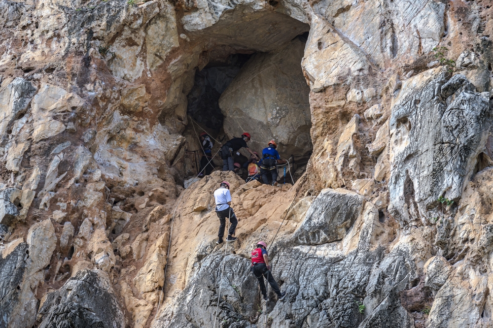
This 112,955-hectare geopark spans the Gombak and Hulu Langat districts, offering pristine landscapes and geological heritage. It features 31 geosites, including Batu Caves, Gombak Quartz Ridge (the longest quartz ridge in Southeast Asia), and Gunung Nuang. The area’s granites date back 200 to 220 million years.
The Gombak Hulu Langat Geopark is aiming for Unesco Global Geopark status by 2028, continuing Malaysia’s efforts to showcase its geological treasures globally.
Jerai (Kedah)
Recognised in 2017, this geopark covers 816 square kilometres, including Mount Jerai, and five islands. Key features include the Jerai Formation and archaeological sites like Sungai Batu and Lembah Bujang. Ancient marine fossils found here date back hundreds of millions of years.

Kinta Valley (Perak)
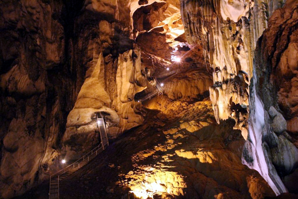
The Kinta Valley, known for its karst limestone formations, covers 1,952 square kilometres. Recognised in 2017, it features iconic sites like Gunung Lang, Tambun Cave, and Tempurung Cave. It’s home to diverse flora, fauna, and prehistoric art.
Lenggong (Perak)
This geopark, covering 2,068 square kilometres, is rich in archaeological and geological significance. The Lenggong Valley, a Unesco World Heritage site, contains ancient human traces and the Bujang Valley with its unique geosites, such as Gua Badak Marble.
Labuan (east Malaysia)
Labuan’s 402 square kilometres feature sedimentary rock formations and diverse ecosystems. It includes mangrove forests, wildlife sanctuaries, and pristine marine parks. Notable sites include Pulau Rusukan and Tanjung Kubong.
Sarawak Delta (Sarawak)
Covering 3,112 square kilometres, this geopark includes Kuching, Bau, and Santubong, with 28 rock geosites. It’s home to Bako National Park, known for its wildlife, as well as mudflats and karst formations.
Stong (Kelantan)
Kelantan’s Stong Geopark spans 2,132 square kilometres, featuring karst landscapes and 25 geosites, such as Gunung Stong and the Gua Ikan Karst Complex. It also hosts artefacts dating back 1,000 to 5,000 years.
Kenyir (Terengganu)
Recognised in 2023, Kenyir Geopark covers 244,900 hectares with 15 geosites. It features Bewah Cave and Batu Kapur Cave, and is renowned for its biodiversity, including rare plants and wildlife.
Lipis (Pahang)
Pahang’s Lipis Geopark is Malaysia’s largest, covering 5,198 square kilometres. The geopark includes significant geosites like the Meteor Shower Cave, the Bentong-Raub suture zone, and the Gua Bama Permian-Triassic boundary.
Perlis (Perlis)
The whole of Perlis, Malaysia’s smallest state, became a national geopark in 2023. Its 23 geosites include Gua Kelam and Bukit Ayer Forest Eco Park, known for its stunning limestone formations and underground rivers.
Special mention: The Unesco Global Geoparks in Malaysia
Malaysia is home to two Unesco Global Geoparks: Langkawi and Kinabalu. These sites are recognised for their international geological significance and managed with sustainable tourism in mind.
- Langkawi: The first South-east Asian site to be recognised as a Global Geopark (2007), Langkawi features the Machinchang Cambrian Geoforest Park, Kilim Karst Geoforest Park, and the Kubang Badak BioGeo Trail. It covers 478 square kilometres and includes 99 islands.
- Kinabalu: Recognised in 2023, Kinabalu Geopark covers 4,750 square kilometres, including Mount Kinabalu. It’s known for its endemic flora and fauna, including the crimson-headed partridge, and its unique geodiversity.
Recommended read:
- Selangor Sultan declares Gombak-Hulu Langat as state’s first national geopark, making 10 in Malaysia


